6 RIDGEWOOD DR
Owner Information
SCICHILONE MARK P
6 RIDGEWOOD DR
AUBURN, MA 01501


Property Details
6 RIDGEWOOD DR is classified as a Single Family Residential (Ranch).
The primary structure on this property was built in 1957. There are 3,284ft2 of built area within this property. There is 1,610ft2 of residential/living space within this property. This property is listed as having 7 rooms.
6 RIDGEWOOD DR is valued at $359,900. The land is valued at $120,600 and the structures are valued at $230,800. There is an additional valuation of $8,500 on this property.
This property is in Zone RA. Confirm with local Zoning Board authorities to ensure there are no overlays or other easements on this property.
The most recent deed for 6 RIDGEWOOD DR is recorded at the local registrar in Book 40082, Page 0186. 6 RIDGEWOOD DR was last sold on Tuesday, October 31, 2006 for $290,000.
Assessment data from fiscal year 2022.
Flood Data
According to the FEMA National Flood Hazard Layer, this property does not appear to be in a flood zone. It may also be in an area not yet reviewed. Nonetheless, confirm this information prior to taking any action.
To view the flood hazards around this property, create a FEMA "Firmette" Map of the area around 6 RIDGEWOOD DR.
Broadband Internet Providers
| Provider | Type | Bandwidth (mbps) | |
|---|---|---|---|
| GCI Communication Corp. | Satellite | 0 | 0 |
| VSAT Systems, LLC. | Satellite | 2 | 1 |
| Viasat Inc | Satellite | 100 | 3 |
| Verizon New England Inc. | DSL | 15 | 1 |
| Charter Communications Inc | Cable | 940 | 35 |
| HughesNet | Satellite | 25 | 3 |
Broadband service provider data from December 2020.
Adjacent Properties
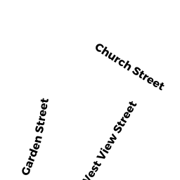
- 28 CHURCH ST
Single Family Residential owned by LEREBOURS SCOTT - 8 RIDGEWOOD DR
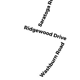
Single Family Residential owned by LAM PHAT T - 1 SARATOGA RD
Single Family Residential owned by BEAUDET KATHLEEN A - 4 RIDGEWOOD DR
Single Family Residential owned by TATRO ROBERT J - 30 CHURCH ST
Single Family Residential owned by PRIOR JUDITH N